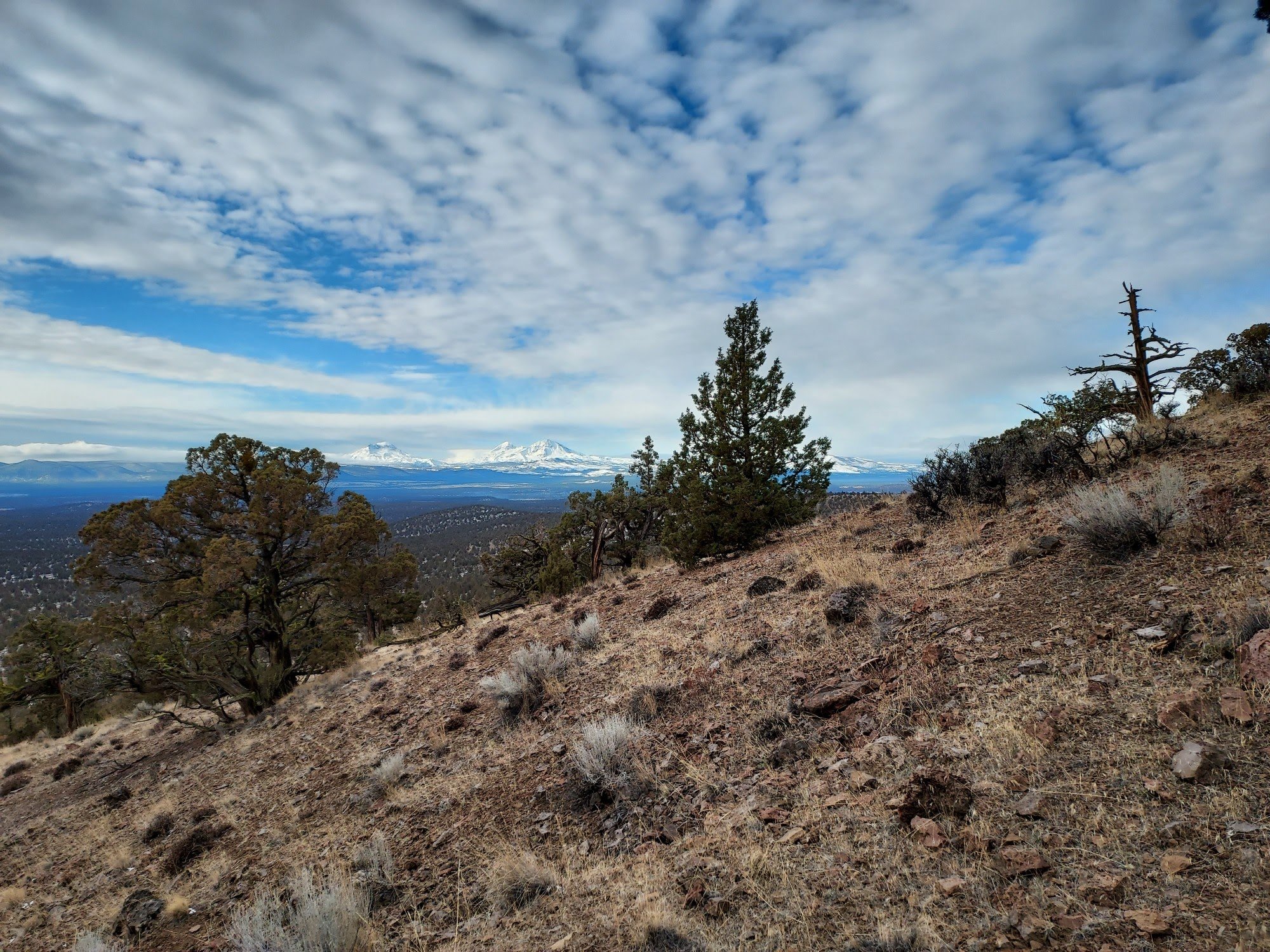
Trails
COTA is dedicated to the stewardship and maintenance of the extensive network of trails in the beautiful Central Oregon region. Our organization works tirelessly to promote responsible outdoor recreation, ensuring that these trails remain accessible and enjoyable for all who seek adventure in nature. By fostering community involvement and engaging with local organizations, we aim to preserve the natural landscapes and enhance the experiences of both hikers and mountain bikers alike. Together, we strive to protect these valuable outdoor spaces for future generations to explore and appreciate.
-

aMTB Trail Information
Check out this page about trails suitable for adaptive mountain bikes.
-

Winter Trail Information
Check out this page about fat bike trails for information on grooming and trail etiquette.
-

Trail Etiquette
Check out this page about trail etiquette and being a good steward of the trails.
Get to know our trails!
-

Trail Projects
Check out our most recent accomplishments and our new projects coming up soon!
-

Suggested Routes
Check out some great routes available across all our chapters, offering a variety of trail experiences for everyone to enjoy.
-

Report Deadfall or Maintenance
To submit a Deadfall report please click the button below to send an email with location, approximate size of trees and a picture.